Hot summer day turns into one full of severe weather around Utah
Aug 17, 2023, 6:42 PM | Updated: 6:45 pm
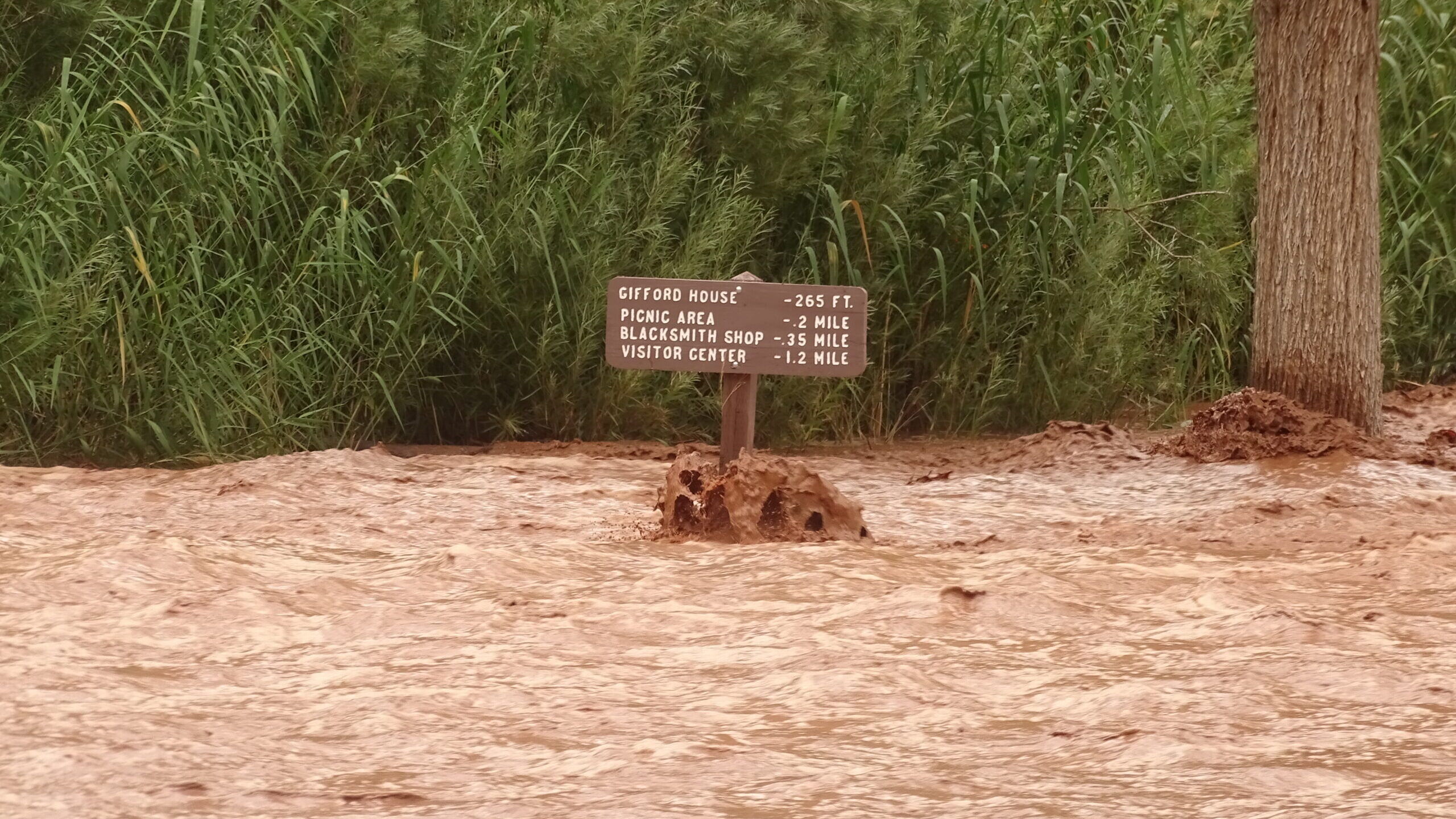
A flash flood warning was issued for areas near Capitol Reef National park. (C. Middleton/courtesy of Capitol Reef National Park.)
(C. Middleton/courtesy of Capitol Reef National Park.)

SALT LAKE CITY — What started out as another hot summer day turned into a day of severe weather across Utah.
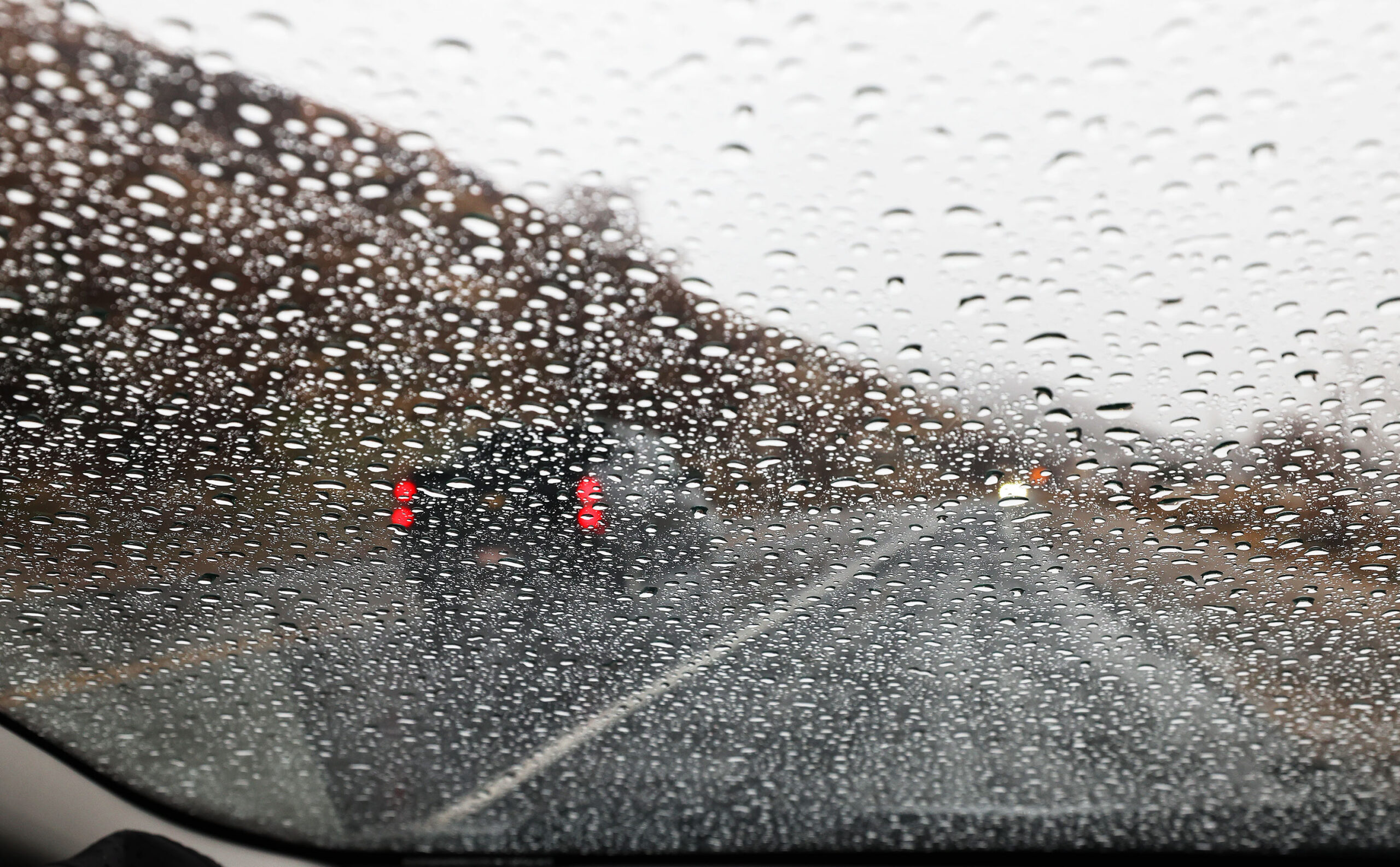
By Thursday afternoon, the National Weather Service issued severe thunderstorm warnings for various parts across the state including Salt Lake City, Bountiful and Farmington.
Flash Flood Warning including Cedar City UT and Enoch UT until 5:00 PM MDT pic.twitter.com/RcCgBgorcO
— NWS Salt Lake City (@NWSSaltLakeCity) August 17, 2023
Strong winds were reported with this storm. Salt Lake City International Airport reported a wind gust of 69 mph. During the storm, flights were delayed by an average of 31 minutes, according to flightaware.com.
A severe thunderstorm warning was also issued for portions of Utah County, including Provo, Orem and Lehi until 4:30 p.m. Strong winds were also reported with this storm.
A wind gust to 60 mph was reported with this storm between Nephi and Santaquin. It’s moving north at 20 mph. #utwx https://t.co/Btn3PHSYip
— NWS Salt Lake City (@NWSSaltLakeCity) August 17, 2023
Another severe thunderstorm was issued late Thursday afternoon for Erda in Tooele County until 5:45 p.m. The storm also impacted Stansbury Park and portions of I-80 between mileposts 88 and 108.
“Avoid this area, if possible,” the NWS posted on X.
In southern Utah, the NWS issued a flash flood warning for areas around Capitol Reef National Park. Those areas included Torrey, Grover and Fruita. The warning was in effect until 4:15 p.m.
As a result of the warning, officials at Capitol Reef closed Grand Wash, Capitol Gorge and Pleasant Creeks roads.
Also on Thursday, the NWS also issued a flash flood warning for portions of Kane and Washington counties in and around Zion National Park. The warning expired at 5 p.m.
Flash flooding was also reported at Refrigerator and Echo canyons, according to Zion National Park spokesman Jonathan Shafer.
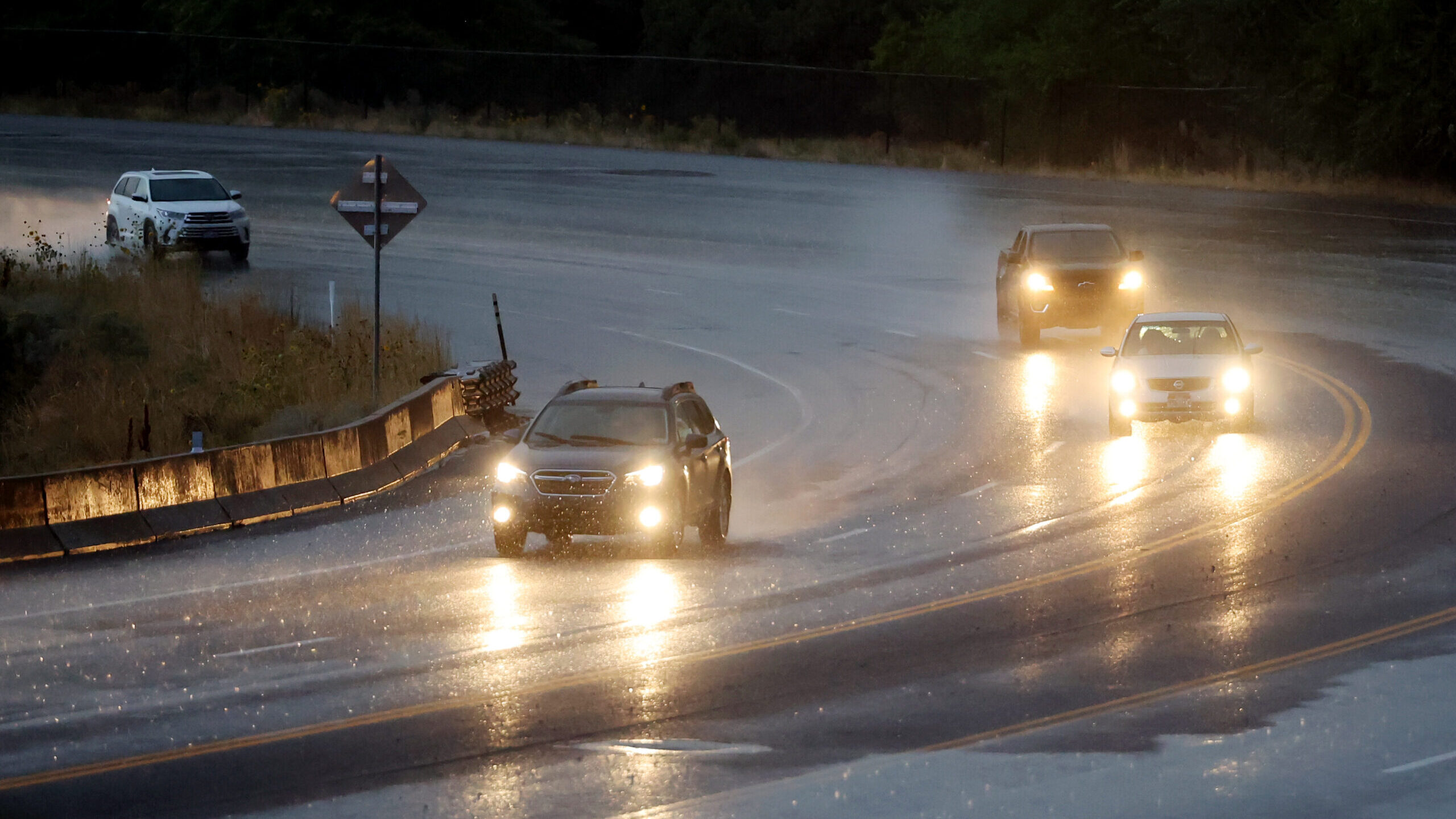
In Iron County, an urban and small stream advisory was issued by the NWS. Overflowing drains led to flooded streets in Cedar City. The advisory was in place until 4:45 p.m. Cedar City police say the impacted area of flooding was 1925 N. 550 West.
The NWS urged residents in the area to use caution. “Turn around! Don’t drown! Do not drive through flooded streets,” the NWS said on X.
Here’s more information about the urban and small stream advisory. Please continue to monitor for potential upgrades to a flash flood warning. #utwx pic.twitter.com/FqQ0BMDYBM
— NWS Salt Lake City (@NWSSaltLakeCity) August 17, 2023
Roughly an hour later, the NWS upgraded the advisory to a flash flood warning for Cedar City and Enoch.
Flash Flood Warning including Cedar City UT and Enoch UT until 5:00 PM MDT pic.twitter.com/RcCgBgorcO
— NWS Salt Lake City (@NWSSaltLakeCity) August 17, 2023
Sgt. Justin Ludlow, of the Cedar City Police Department, tells KSL that six to eight homes in the area were damaged by flooding. However, the full extent of the damages was not immediately known. Ludlow did say, however, that there were no evacuations.
Southern Utah wasn’t the only area impacted by flash flood warnings. Duchesne and Wasatch counties were also issued similar warning Thursday afternoon by the NWS. That warning also expired at 5 p.m.