Utah mountains have high or worse avalanche danger with ongoing storm
Feb 7, 2024, 3:54 PM | Updated: 4:56 pm
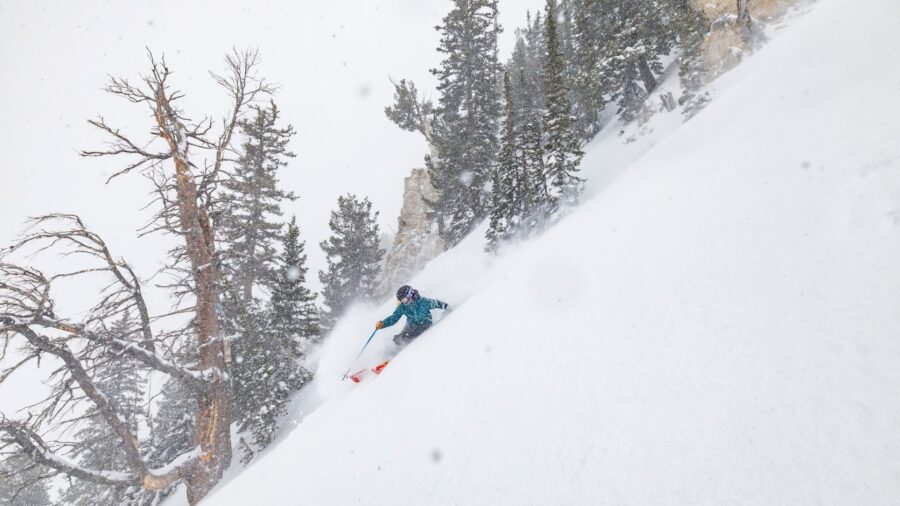
(Photo courtesy of the Utah Avalanche Center)
(Photo courtesy of the Utah Avalanche Center)
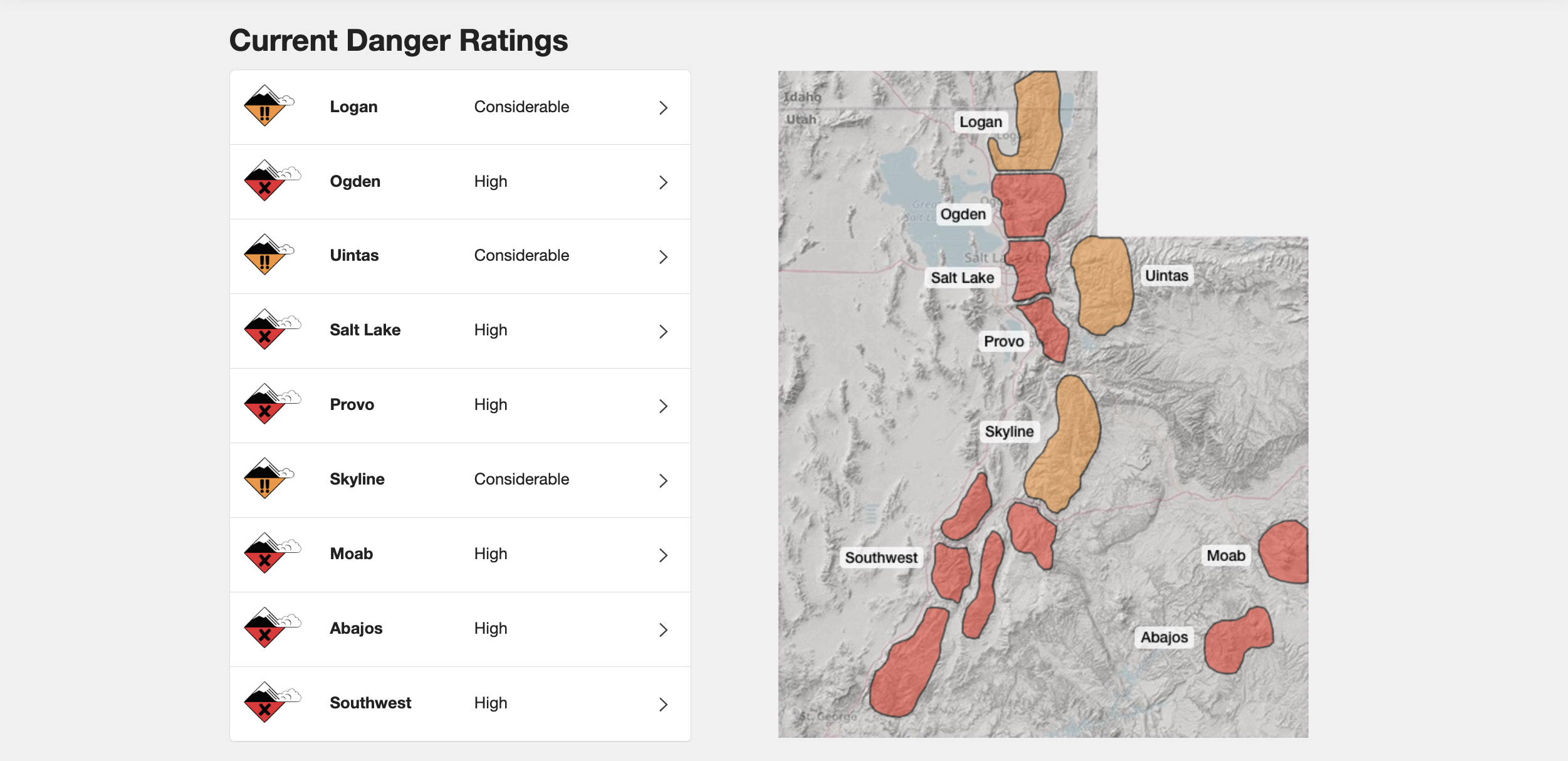
SALT LAKE CITY — The Utah Avalanche Center is warning that the state’s mountains have high to considerable avalanche danger through Thursday morning because of an ongoing storm.
In a post on X, the National Weather Service in Salt Lake City warned that the warnings for Utah avalanche danger will likely be extended as well as increase in risk. And the Pineapple Express storm system is supposed to hang on through the week.
The Utah Avalanche Center has issued an Avalanche Warning for the mountains of central and southwest Utah as powerful winter storm continues. This remains in effect through 6AM Thursday and will likely be extended longer. #utwx pic.twitter.com/XcVJkM0d3U
— NWS Salt Lake City (@NWSSaltLakeCity) February 7, 2024
The mountains in this avalanche warning include the Wasatch Range south of I-80, the western Uintas, the Wasatch Plateau, the Skyline Mountains, the Tushars, and areas near Cedar City.
Earlier on Wednesday, Craig Gordon with the Utah Avalanche Center told KSL NewsRadio that Wednesday’s snowfall would likely “overload existing weak layers.”
Advice for Utah backcountry skiers
Gordon asks backcountry skiers to remain aware of changing conditions and to be prepared for self-rescue if needed.
The National Weather Service recommends avoiding avalanche terrain altogether, specifically:
- staying out from under slopes steeper than 30 degrees.
The NWS also reminds skiers that these avalanche warnings do not apply to ski areas that have performed avalanche mitigation procedures.
Related reading:
