Another round of snow is on the way to much of Utah
Feb 8, 2024, 6:28 PM | Updated: 6:42 pm
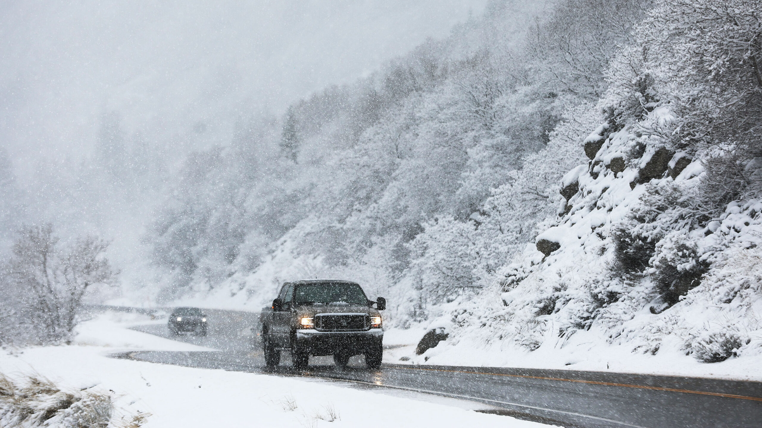
Motorists drive through falling snow in Little Cottonwood Canyon on Wednesday, Feb. 7, 2024. The National Weather Service says more snow is expected by Friday all across Utah. (Jeffrey D. Allred, Deseret News)
(Jeffrey D. Allred, Deseret News)
SALT LAKE CITY — Northern Utah can expect another round of snow this week according to the National Weather Service. As one storm moves out, NWS Meteorologist Sam Webber told KSL NewsRadio another will move in.
This one is expected to hit both valleys and mountains.
“By (Friday) morning, we start working another storm system in from the north that’s going to help bring another round of mountain and valley snowfall,” Webber said.
“Conditions are going to be favoring snowfall in the valley areas.”
Speaking in the late afternoon Thursday, Webber said the Salt Lake mountains could see as much as eight inches of snow.
“The local Salt Lake area mountains could see anywhere from about four to eight inches, and then lesser (amounts of snow) as you head further north.
“So the Logan area mountains (will only see) a couple of inches,” he said.
Webber said that Central Utah will see the worst of this latest storm. He expects that up to 24 inches of snow could fall there.
❄🏔Snow showers will continue across the mountains of Utah, with heavy mountain snow expected through Friday AM. Light snow showers can then be expected through Saturday AM. Be sure to prepare for winter driving conditions! #utwx #wywx pic.twitter.com/0r5A9cO5hS
— NWS Salt Lake City (@NWSSaltLakeCity) February 8, 2024
Of particular concern are ongoing avalanche conditions for mountainous areas in southwest and central Utah, according to the National Weather Service.
The ongoing winter storm will create very dangerous avalanche conditions for many mountains across southwest and central Utah. Avoid travel in avalanche terrain! This warning is in effect through 6AM Friday. pic.twitter.com/TQvjWjuB5O
— NWS Salt Lake City (@NWSSaltLakeCity) February 8, 2024
Utah snow and snowpack is on track
As Webber predicted, the snowstorm headed toward northern Utah could add eight more inches of snow to a snowpack that, historically, is right where it should be. And ahead of schedule, too.
“From a statewide perspective, the number of days until we reach the average peak in the snow/water equivalent numbers in Utah is still 55 days away,” Webber said. “So we have 55 more days, on average, to build (more) snowpack through the remainder of this cool season.
Webber says the storm is expected to fade out by Friday night.
Related reading:


