Utah expected to get more rain and snow this week
Feb 20, 2024, 8:50 AM | Updated: 9:31 am

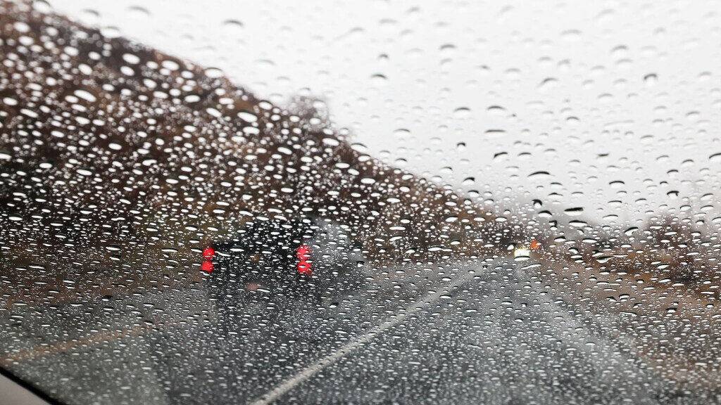
Motorists drive in the rain in Millcreek on Wednesday, Feb. 7, 2024. (Jeffrey D. Allred/Deseret News)
(Jeffrey D. Allred/Deseret News)
SALT LAKE CITY — An atmospheric river will bring Utah some rain to its valleys and snow to its mountains throughout this week.
The National Weather Service Meteorologist expects the hardest rainfall tonight and tomorrow morning. Showers will continue into tomorrow evening.
“By the time we get into Thursday morning, some lingering light snow showers [are] expected across the northern mountains. And then things [will come] to an end as we go through the day Thursday,” said NWS Meteorologist Alex DeSmet.
Utah’s snowpack is already above normal in every basin
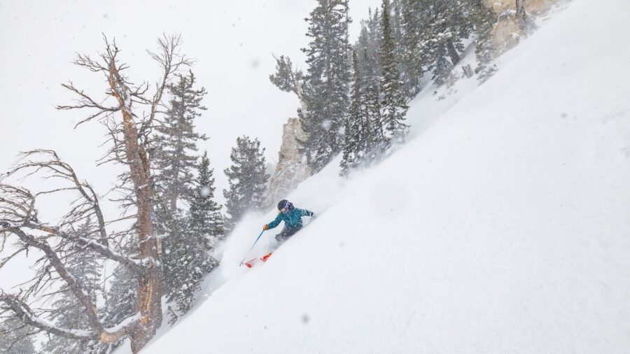
According to DeSmet, mountains in southern and central Utah could receive 6 to 12 inches of snow.
“And 10-20 inches in the northern mountains,” DeSmet said. “In particular the upper Cottonwoods.”
Additionally, the meteorologist said that we’ll get a brief respite from the precipitation. However, it’s expected to start up again on Monday.
So, what is an atmospheric river?
According to the National Oceanic and Atmospheric Administration, atmospheric rivers are “rivers in the sky.” The long and narrow paths transport water vapor.
They usually form over tropical regions, per the NOAA. As the vapor is blown over land, it rises and cools. As the water droplets cool, they fall as precipitation.
One well-known atmospheric river is the Pineapple Express. It picks up vapor near Hawaii, transporting it over the western United States and Canada. It is known to bring heavy rain and snow to the areas, according to the NOAA.
While atmospheric rivers often bring on flood warnings, the NOAA said most of them are harmless.
They are responsible for bringing 30 to 50% of the annual precipitation to the western United States. Additionally, a strong atmospheric river can transport as much water vapor as 15 times the amount of liquid that flows through the mouth of the Mississippi River.
Related:


