Snow and rain but 70 degrees ahead
May 6, 2024, 10:02 AM | Updated: 6:50 pm
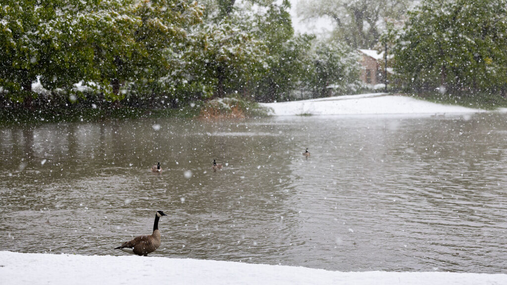
Geese are pictured in the snow at Liberty Park in Salt Lake City on Sunday, May 5, 2024. (Megan Nielsen, Deseret News)
(Megan Nielsen, Deseret News)
SALT LAKE CITY — Sunday’s storm system that dropped snow and rain along the Wasatch benches will continue Monday and Tuesday. But northern Utah will see a 70-degree warming wave this weekend.
KSL meteorologist Matt Johnson said Monday the snow totals were substantial.
“Alta’s got nine inches from this snow,” said Johnson. “Olympus Cove, up on the bench there, eight inches. East Millcreek with four. Suncrest, on top of the mountain, with four inches of snow.”
It’s not just the benches today. Snowing down to the valley floor in SLC. Today is Cinco De Mayo…. Mind you ❄️
📍: Salt Lake City, UT
📸: Adam Sierra pic.twitter.com/n2DGfMbO2F— Matthew Johnson (@KSL_Matt) May 5, 2024
Those numbers are music to the ears of a few ski resorts, which are still holding onto the season.
16” of new snow on May 6. It’s not over until we say it’s over 😤 #SnowbirdSurfSeason pic.twitter.com/YQh35MJJC3
— Snowbird (@Snowbird) May 6, 2024
Johnson said the snow turned to rain in some areas.
“As far as rainfall, Millcreek, picking up a buck-22 (1.22 inches) in the rain gauge. Ogden over an inch, Salt Lake City airport, 86-hundredths,” said Johnson. “This has been a wet storm.”
Johnson said two-thirds of an inch fell on Saratoga Springs and Brigham City, plus a quarter inch in Logan and Cache Valley.
After the snow, here comes the sun
But Utahns can switch their November jacket for some Spring T-shirts and shorts later this week.
Johnson said to expect a rainy commute on Monday and Tuesday mornings. Temperatures will hover in the 40s and 50s. Then the sun will start making its way through the clouds Tuesday afternoon with a partly cloudy sky on Thursday.
“For tomorrow [Tuesday], scattered showers, 51 [degrees], mostly cloudy,” Johnson said. “Wednesday, continuing to dry out, 62 [degrees]. Friday we’re at 68, mostly sunny skies. And into the weekend, we’ve got 70s as it looks right now.”
A snowstorm this late is somewhat out of the ordinary, according to KSL meteorologist Kristen Van Dyke. She said the record for the latest Winter storm happened on May 18, 1960. The earliest final snowstorm for a season happened on February 4, 2014.
You can find up-to-date weather radar and forecasts online at the KSL Weather Center.


