Utah weather gets wintry again
Feb 5, 2019, 8:16 AM | Updated: 8:30 am
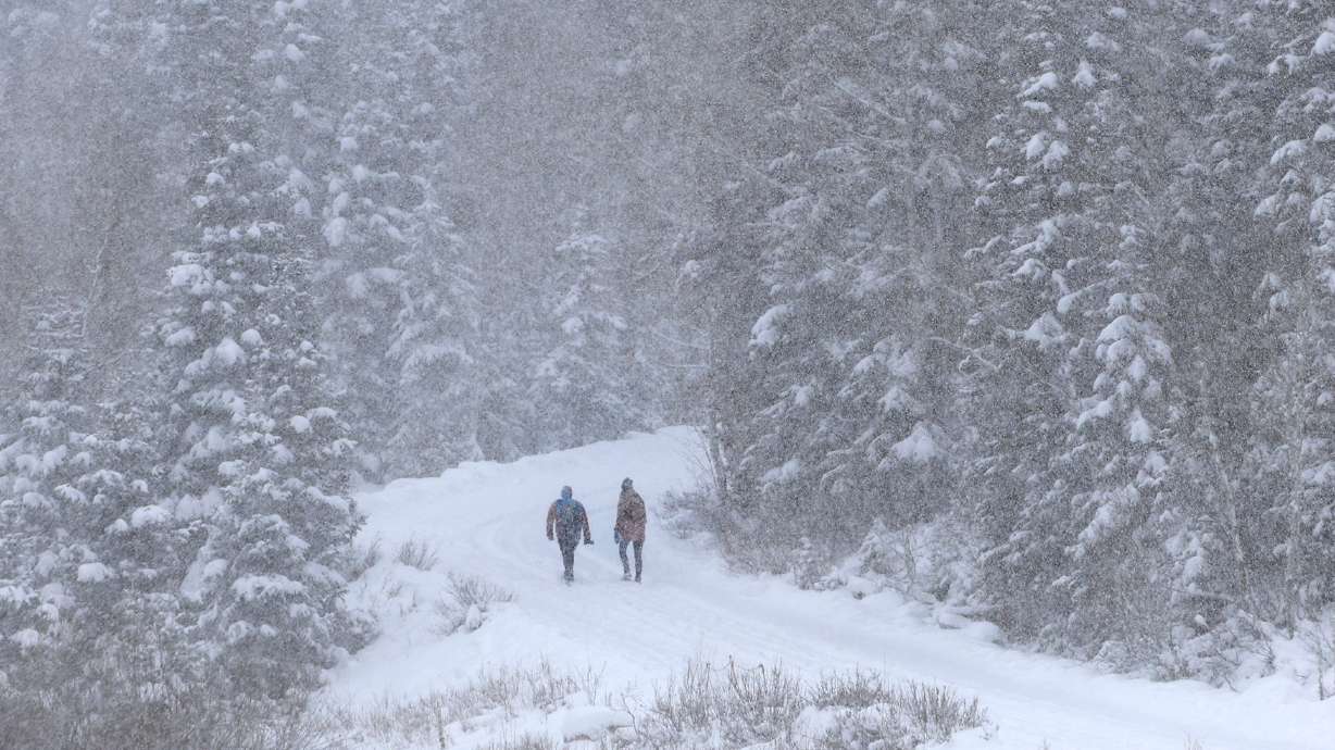
The forecast calls for 2-6 inches in the valleys and up to 2 feet in the canyons
SALT LAKE CITY — Windy, wet and cold is what the forecast is calling for! With a winter storm warning in effect for most of northern Utah until Wednesday at 6 pm.
Winter Weather Advisories UPDATED to include Price, Castle Country, Uinta Basin, Beaver and Cedar City areas. See complete list of current Warnings and Advisories here: https://t.co/6j4WZlqX3P #utwx pic.twitter.com/F8vEDNmdxY
— NWS Salt Lake City (@NWSSaltLakeCity) February 5, 2019
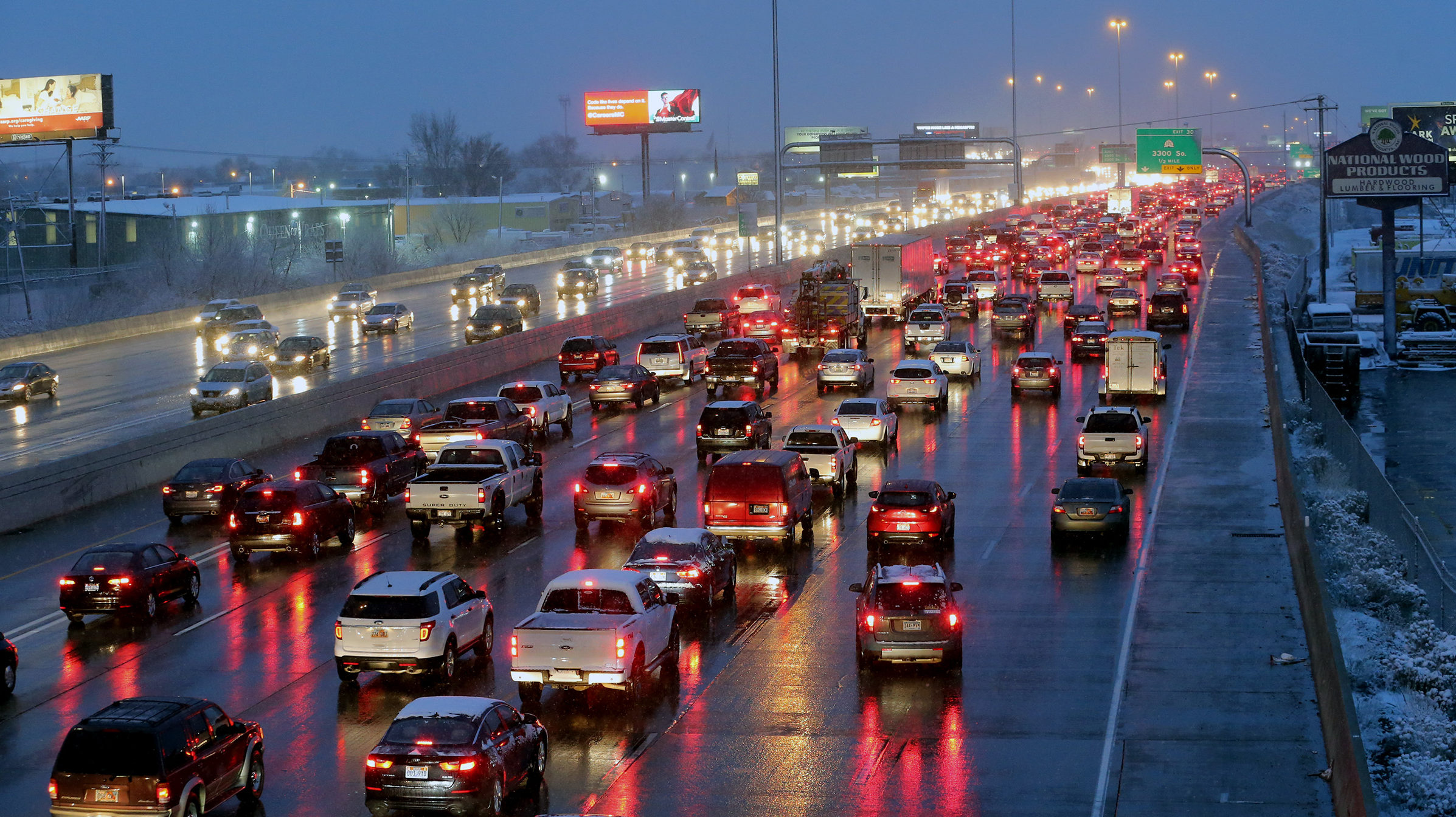
The weather started with a wet rain and snow mix early on Tuesday morning that caused some big traffic hiccups especially in southern Utah where the I-15 was closed early Tuesday with 15 semis that were overdriving the conditions.
NB I-15 is closed near Cedar City. Troopers are reporting that they are dealing with about 15 semis that have spun out after traveling too fast for the winter weather conditions and are now blocking traffic.
— Utah Highway Patrol (@UTHighwayPatrol) February 5, 2019
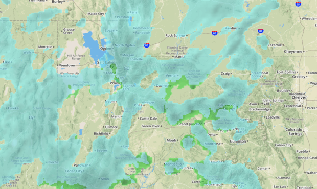
The snow is going to start to stick around this afternoon, and KSL Meteorologist Grant Weyman is saying that the majority of the snow will be accumulating throughout the night and we can expect to wake up with the white stuff tomorrow morning where we can expect several inches of snow on the valleys tomorrow.
Here’s HOW MUCH we expect out of this storm…. pic.twitter.com/DLyfJJpVbK
— Grant Weyman (@KSLweyman) February 5, 2019
With the increase in snow in the mountains avalanche danger is high throughout the Wasatch, Western Uinta, and Bear River Mountains today with areas in the Cottonwood canyons expected to get up to 2 new feet of snow.
For the latest updates on how this storm will affect your travel, you can always get the latest updates on our KSLNewsradio app.