Utah storm adding to snowpack that melted over weekend
Apr 15, 2024, 5:56 PM

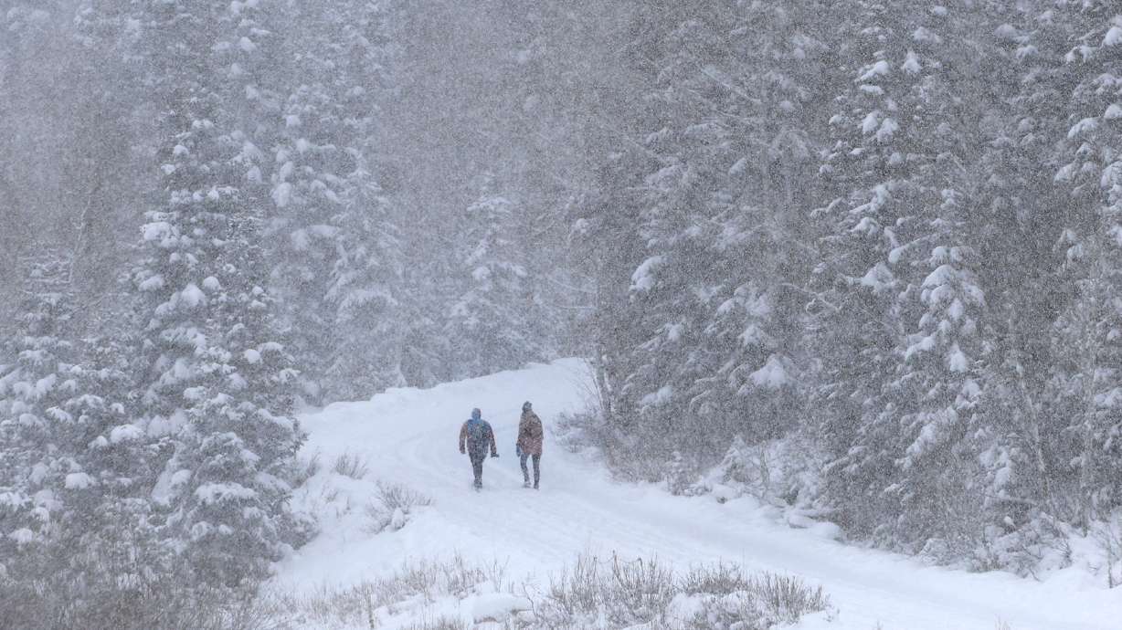
Hikers at Donut Falls in Big Cottonwood Canyon on Dec. 1, 2023. Utah's snowpack enters 2024 below normal for every region, but weather and climate models are beginning to point in the state's favor. (Laura Seitz, Deseret News)
(Laura Seitz, Deseret News)
SALT LAKE CITY — Monday’s storm is expected to replenish most of the Utah snowpack that began melting under the weekend’s sunny skies.
Up to 20 inches of snow was expected to fall in the upper Cottonwood canyons on Monday. The Wasatch Mountains could see up to 16 inches, which is equivalent to 1 inch of snow water.
A storm system will bring significant accumulating snow to most Utah mountains Monday. Snow will begin early Monday morning, continuing throughout the day.This will result in some slushy or snow-covered roads, primarily above 6500 to 7500 feet. #utwx pic.twitter.com/0W0ddwDMjB
— NWS Salt Lake City (@NWSSaltLakeCity) April 14, 2024
“Localized across portions of the Wasatch Mountains, we could see an inch [to] an inch and a half,” said Glen Merrill, a National Weather Service hydrologist.
He added that melting rates are going to vary between northern and southern Utah.
According to Merrill, the snowpack will grow as the storm passes. But lower- and mid-elevations are going to melt throughout the week. The storm is expected to wind down by Monday night. Warmer days will follow later this week.
Higher elevations will continue to receive more snow throughout the day.
“If you get above 9,000 feet, it’s still a winter snowpack. It hasn’t ripened yet. We need warmer temperatures at those higher elevations to begin the snowmelt process up there,” Merrill said.
As spring runoff continues, officials have warned Utahns to be careful around streams of water as they are running fast and cold.
Other reading:
- Don’t turn on the sprinklers just yet, expert says
- Utah getting big delivery of valley rain, mountain snow Monday
- Utah temperatures warming up, strong snowpack set to start melting


