Much of Utah under severe weather warnings
Jun 5, 2020, 8:25 AM

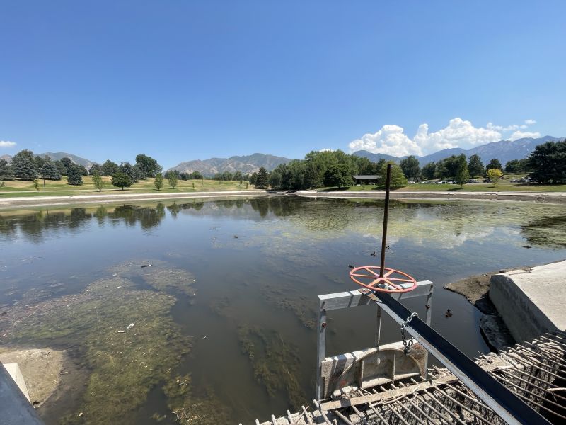
Little Wild Horse Canyon hike in central Utah just outside of Goblin Valley state park. (Getty Images)
(Getty Images)
SALT LAKE CITY — Much of the state of Utah will be either under a Flash Flood Watch or a Red Flag Warning this weekend as most of the state falls under severe weather warnings.
The National Weather Service has issued a Flash Flood Watch for portions of central and southern Utah as widespread showers and thunderstorms are expected to move in across the state.
**WEATHER ALERT**
A Flash Flood Watch as been issued for portions of central and southern Utah. Widespread showers and thunderstorms with locally heavy rainfall is expected. Slot canyons, burn scars, small streams and dry washes will be at risk for flash flooding.#utwx pic.twitter.com/dQZxnjtz8q
— NWS Salt Lake City (@NWSSaltLakeCity) June 5, 2020
The Weather Service says they expect widespread rainfall to roll in Friday night through Saturday afternoon with a few embedded thunderstorms. Storms that KSL Meteorologist Grant Weyman says could bring with it an inch of precipitation.
FLASH FLOOD WATCH AREAS
- Castle Country
- Central Mountains
- San Rafael Swell
- Wasatch Plateau / Book Cliffs
- Glen Canyon Recreation Area / Lake Powell
“Salt Lake City averages about 1 inch of water for the entire month of June, and we could end up getting that from just this one storm,” he says.
“That Flood Watch just means that there are heavy rains possible we’ve got a good chance of seeing rain for a good part of the day both Saturday and Sunday.”
With that kind of water showing up in so short a time, Grant says that it’s a good idea to steer clear of Utah’s backcountry which could see flash flooding through Canyonlands and the dry wash areas.
Grant also says that this storm will also bring a lot of cold weather with it and that could also bring snow into the mountains and higher elevations.
Red Flag Warning
In addition to the severe weather and cooler temperatures expected over the weekend in Utah, most of the state is also currently also in a Red Flag Warning.
The warning, which indicates a higher fire danger due to more wind and a relatively low humidity, goes into effect from noon Friday to 9 p.m.
A Red Flag Warning for today- with hot and windy conditions. But then a Flood Watch for tomorrow… as wet and cooler air moves in. pic.twitter.com/t57e2yEIf7
— Grant Weyman (@KSLweyman) June 5, 2020
“A Red Flag Warning means that critical fire weather conditions are either occurring now…or are imminent. A combination of strong winds…low relative humidity…and warm temperatures can contribute to extreme fire behavior,” the National Weather Service says.