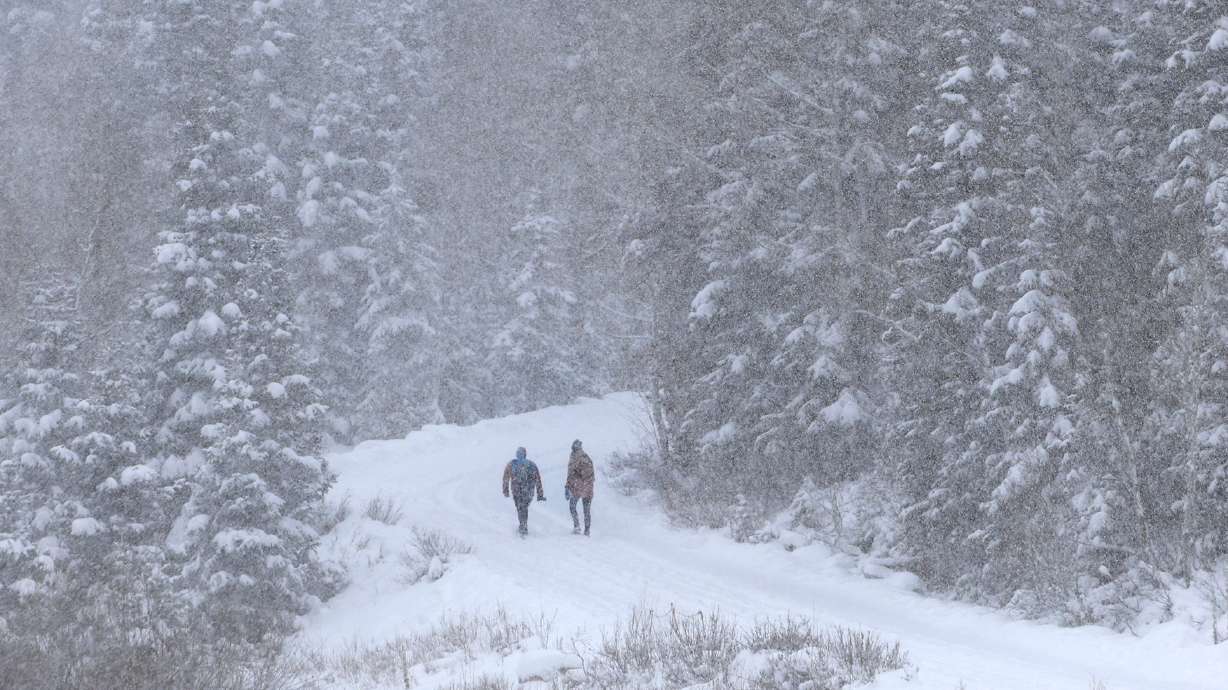
If the small snowstorm took you by surprise, you’re not alone
Nov 23, 2022, 1:00 PM | Updated: 1:07 pm
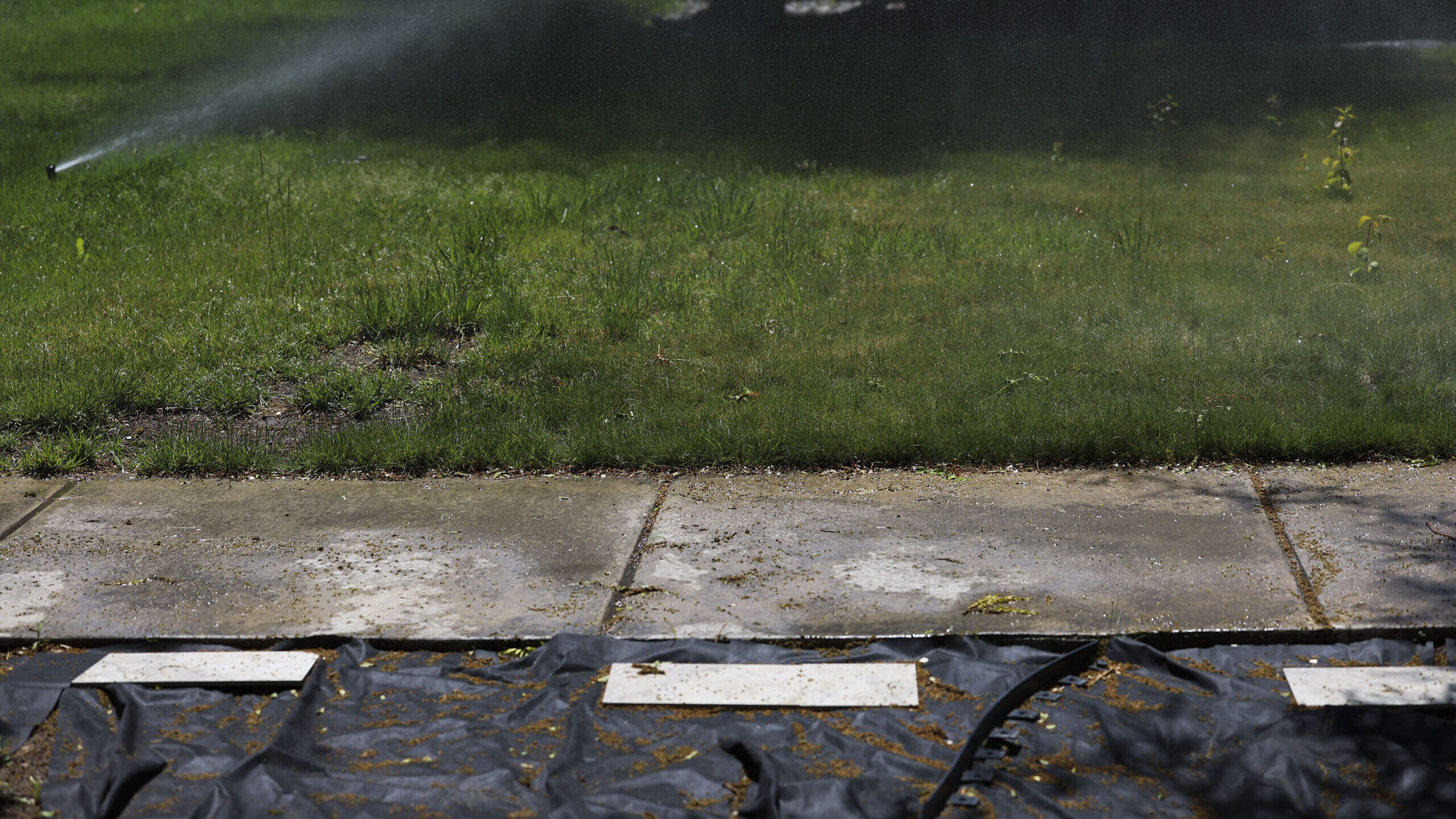
Rainy weather in the Salt Lake Valley on Wednesday, Sept. 21, 2022. (Scott G. Winterton/Deseret News)
(Scott G. Winterton/Deseret News)

SALT LAKE CITY — Where the heck did the snowstorm come from and why didn’t we get more of a heads-up? Turns out, Utah weather can be unusually difficult to predict.
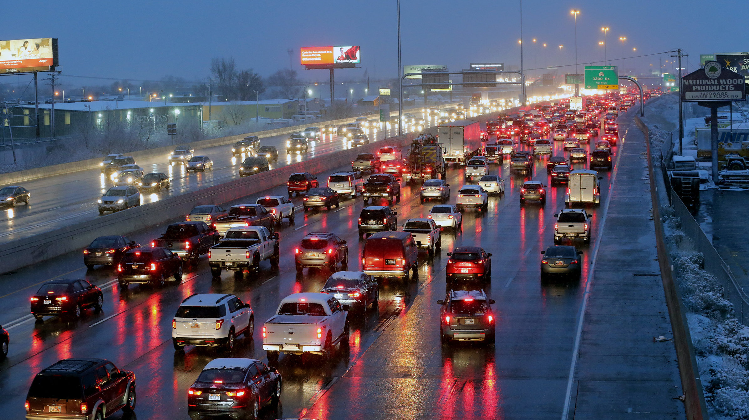
The snowstorm this morning took drivers and even meteorologists by surprise.
KSL Meteorologist Matt Johnson says it was just cold enough for what little there was to make things slick.
“It’s literally a dusting,” said Johnson. “But the ground was so cold it made for a disaster and that’s all we’re going to get.”
The snow we saw today wasn’t even measurable, it was just so cold it created those slick conditions.
Researchers say the reason why forecasting weather in northern Utah can be tricky is also the thing that gives us fresh powder for the ski resorts: the mountains.
Systems moving over the Great Salt Lake pick up moisture, which the mountains then wring out as lake-effect snow. But a number of variables can affect whether it snows, and how much it snows, from the surface temperature of the lake to the wind to how much moisture is in the air.
What causes lake-effect snow?
We’re done with the snow for now, but Johnson says it comes back into the forecast early next week.
“It does look like something is coming Monday, maybe even Tuesday,” he said. “So if you’re coming back, you’ll want to come back Saturday or Sunday.”