The reason that the weather in Utah can change abruptly
Dec 13, 2022, 1:38 PM
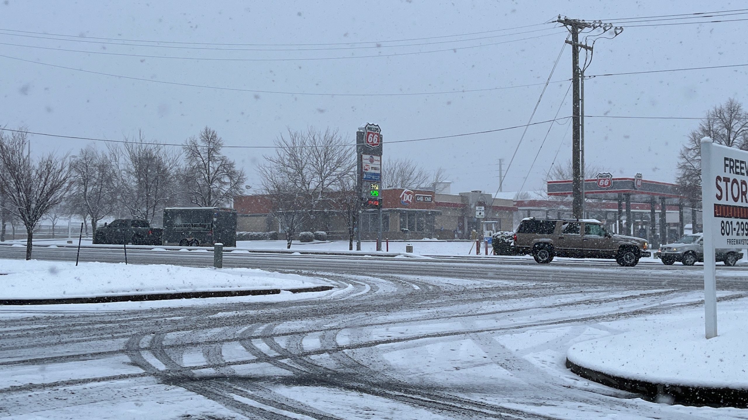
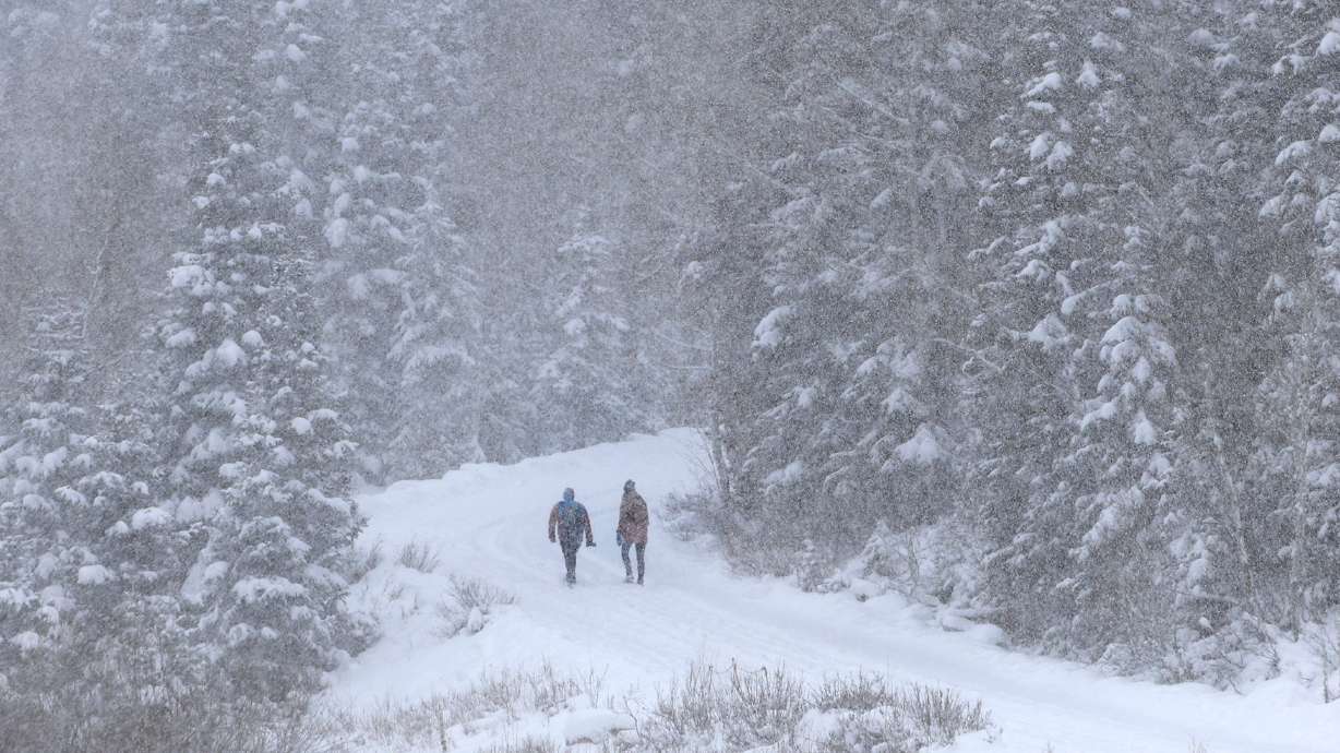
Weather conditions in Bountiful, Utah on Tuesday, Dec. 13, 2022. Meteorologists say that Utah can be one of the most difficult places to accurately forecast the weather, and that has a lot to do with the state's topography. (Adam Small, KSL NewsRadio)
(Adam Small, KSL NewsRadio)
SALT LAKE CITY — Ever wonder why sometimes the winter weather forecast for Utah can move from “not much happening” to a white-out within a matter of hours? Turns out, it has a lot to do with the area of the country that we live in.
“The topography here can really throw you some curveballs,” KSL Meteorologist Matt Johnson said. “Sometimes it can be one of the toughest places to forecast in the country.”
Johnson said a big reason why it’s difficult to predict weather patterns and behaviors out here, is because of the complex terrain, as well as other factors like the wind.
“Weather models in general have a hard time sifting through that (the factors), and determining when and where rain or snow will fall,” Johnson said.
We’ve switched to cold NW flow aloft and that will keep light fluffy snow going into the lunch hour potentially #utwx ❄️
Cold ground temps and low water content in this snow could allow for some decent snow stacking and totals. pic.twitter.com/v5oyU4lV03
— Matthew Johnson (@KSL_Matt) December 13, 2022
Johnson said it’s sometimes difficult to know which area will get snow, rain or anything at all. That’s because weather in higher spots could be different than in a low-lying area of the valley.
“In the intermountain west … you need a very dynamic storm to overrule all the factors … the wind, the elevation, the dryness of the air,” Johnson said.
Johnson said the forecast in Utah can sometimes go from dry to snow in a matter of 12 hours.
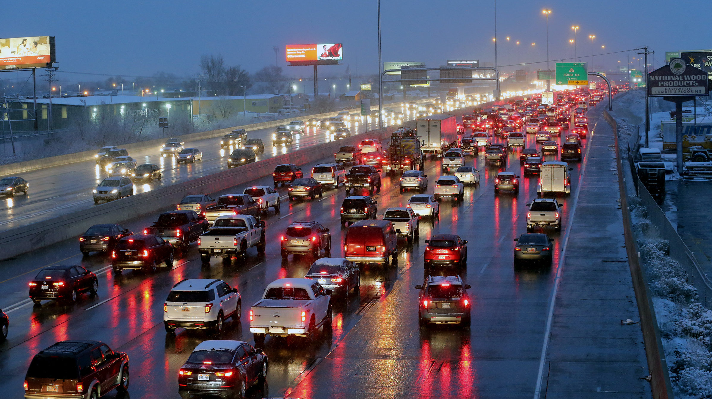
For example, Monday morning the storm took a turn. And that made for a pleasant wake-up call for a lot of drivers expecting a rougher commute. The bulk of the storm moved east, leaving behind only the, “tail end,” Johnson said.
Johnson said it’s all the more reason to keep up with the forecast consistently.


