Avalanche danger remains strong across Utah
Jan 22, 2024, 6:24 PM | Updated: 6:28 pm
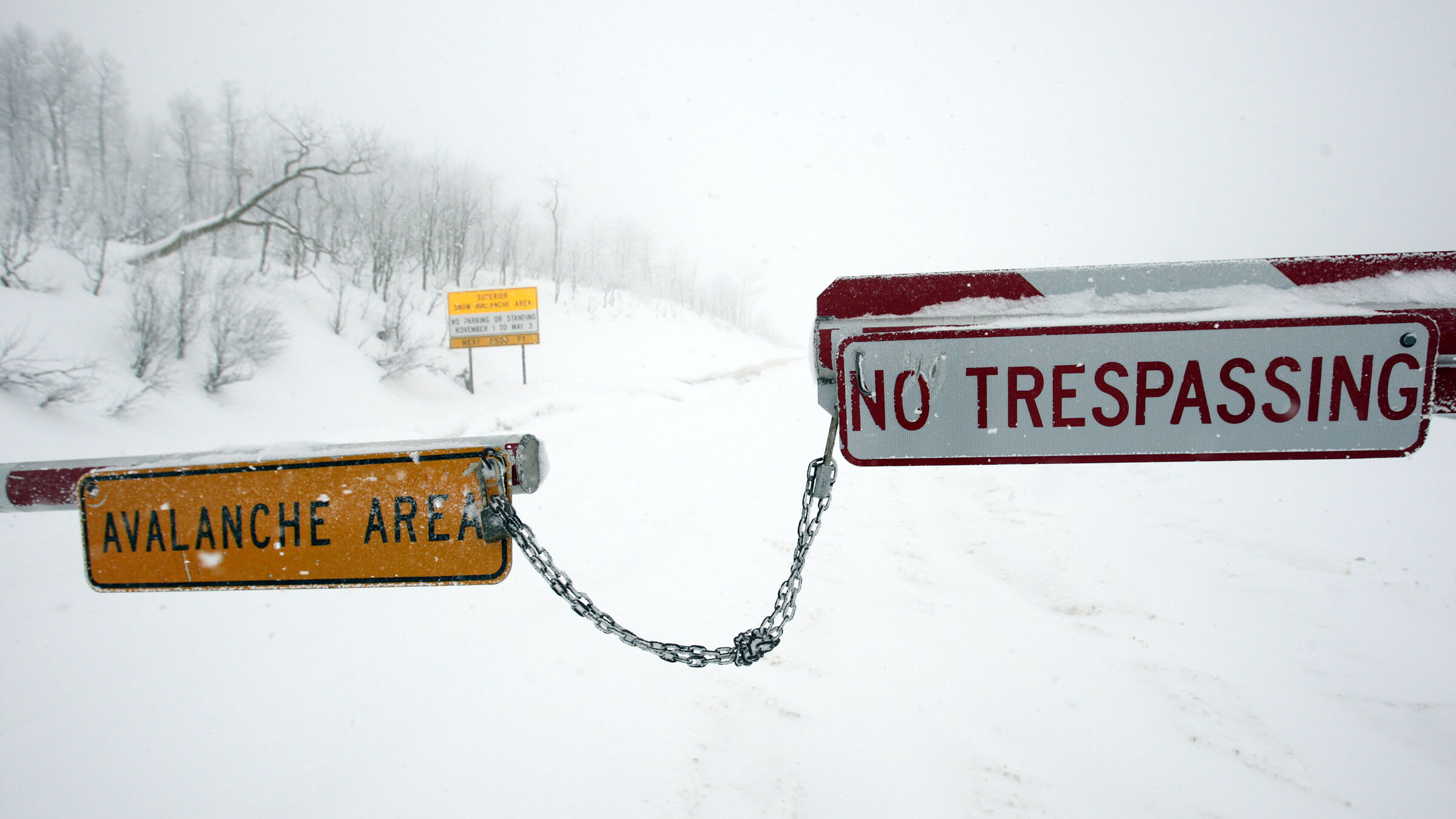
FILE: Avalanche signs and road closure between Snowbird and Alta. Avalanche forecasters said the weekend snow was heavy and wet. And fell onto Utah's famous dry powder which is much less stable. (Jeffrey D. Allred, Deseret News)
(Jeffrey D. Allred, Deseret News)
SALT LAKE CITY — After weekend snowstorms, conditions have shifted into the “considerable” range in northern Utah. That’s according to the Utah Avalanche Center.
The snow that fell over the weekend was heavy and wet. And the snow it fell onto was more like Utah’s famous dry powder which is much less stable.
That combination has Utah avalanche experts keeping their eyes peeled.
“Once we knock the legs out from underneath the snowpack,” said Craig Gordon, a forecaster with the Utah Avalanche Center, “then the entire roof is crashing down on top of us.”
Another problem is that the additional snow has increased the amount of skiable terrain.
“As the snowpack starts gaining strength, it allows us to get out onto steeper, more avalanche-prone terrain,” Gordon said.
And even though a “considerable” avalanche rating is a decreased threat than in the weeks prior, more people venture out during these conditions. So the potential for more injuries and fatalities increases.
Finally, all of these factors — more terrain on top of a weaker layer of snow and more people skiing — can combine to create a much bigger impact if there is an avalanche.
“The problem is that as the snowpack gains strength, the avalanches we trigger are deeper. They break wider, and they’re scarier,” Gordon said.
The Utah Avalanche Center updates statewide avalanche conditions on its webpage where you can also check your local forecasts and learn more about avalanche awareness.
Simone Seikaly contributed.
Related reading: