
Comparing Utah’s snowpack this winter with the rest of the West
Mar 4, 2024, 5:00 PM
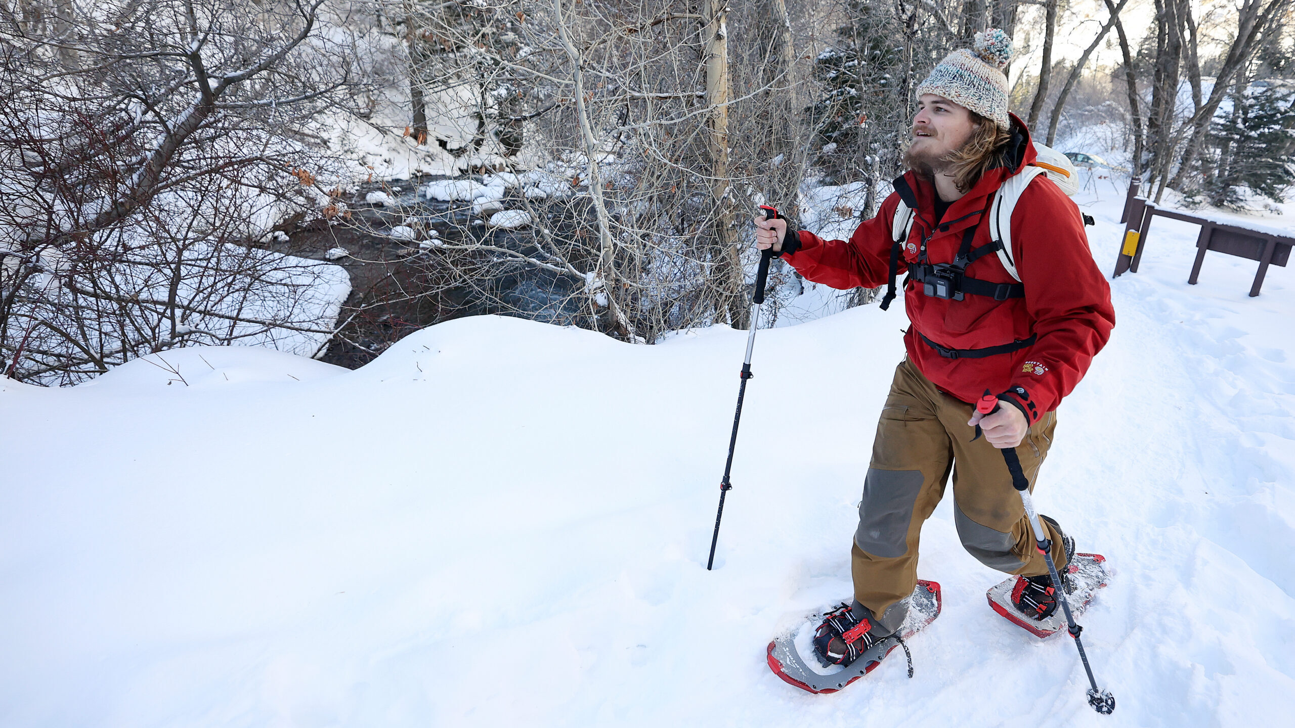
Noah Pirkle snowshoes by the Mill B trailhead in Big Cottonwood Canyon on Monday, Jan. 15, 2024. (Kristin Murphy, Deseret News)
(Kristin Murphy, Deseret News)
SALT LAKE CITY — Meteorological winter ended up becoming quite fruitful for the Utah water supply, after a slow start.
Utah’s mountains gained 12.9 inches of snow water equivalent, otherwise known as snowpack, between the season start on Dec. 1 to its end on Thursday, National Resources Conservation Service data show. The average of the past three decades is 9.7 inches, although both figures pale in comparison to last year’s 15.5 inches.
Most of the snowpack collection this winter came toward the end of the season. Water distribution is typically split equally between the three months; however, the snowpack gained over the last two months of this winter helped the statewide figure jump from 69% of normal on Jan. 1 to well over 100% by Thursday.
Candice Hasenyager, director of the Utah Division of Water Resources, highlighted these successes back on Feb. 15, as meteorological winter was wrapping up.
“Above-normal snowpack is a significant win for our state as a whole, especially with our rocky start,” she said. “It positions us well for the coming months and emphasizes the positive impact of recent weather patterns.”
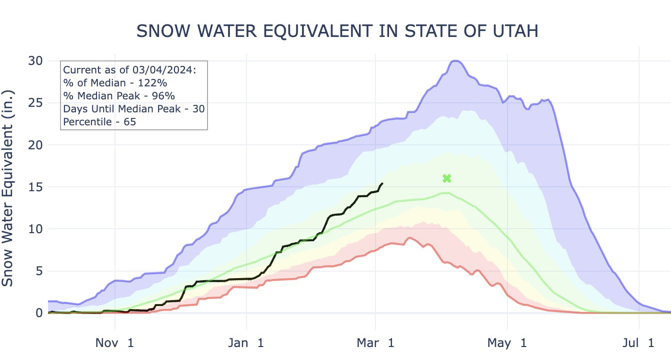
This graph shows Utah’s average snowpack as of Monday morning. Its total is close to the yearly average of 16 inches of snow water equivalent. (Photo: Natural Resources Conservation Service)
Meteorological spring has already started right where winter left off. This weekend’s storm boosted the statewide snowpack to a point where it’s close to the average for an entire snow collection cycle — with about a month left in the normal collection period. Utah’s statewide average entered Monday at 15.4 inches of water, 0.6 inches off the annual median average.
Please read Carter Williams’s entire story at KSL.com.


