More storms are set to hit the Wasatch Front according to NWS
Apr 3, 2023, 11:05 AM | Updated: Jan 5, 2024, 2:58 pm
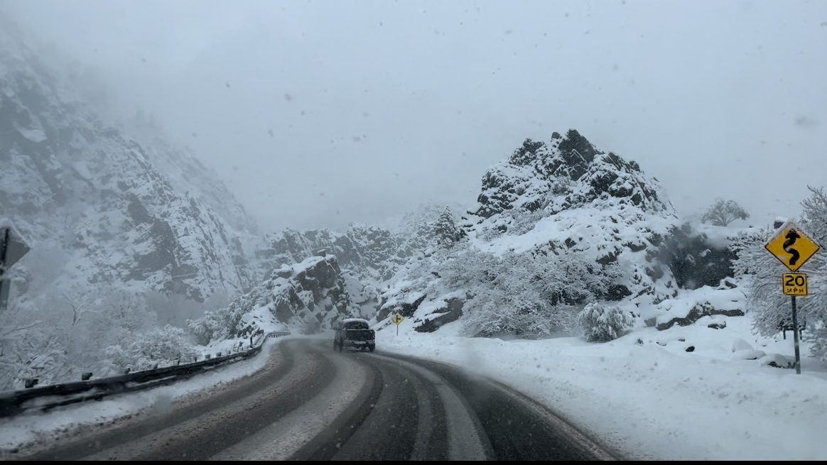
Little Cottonwood Canyon has the highest uncontrolled avalanche hazard index of any major road in the world, according to a University of Utah professor. The professor joined Dave & Dujnaovic on Wednesday to discuss the dangers the canyon presents. Photo: (Elizabeth Weiler/ KSL NewsRadio)
(Elizabeth Weiler/ KSL NewsRadio)

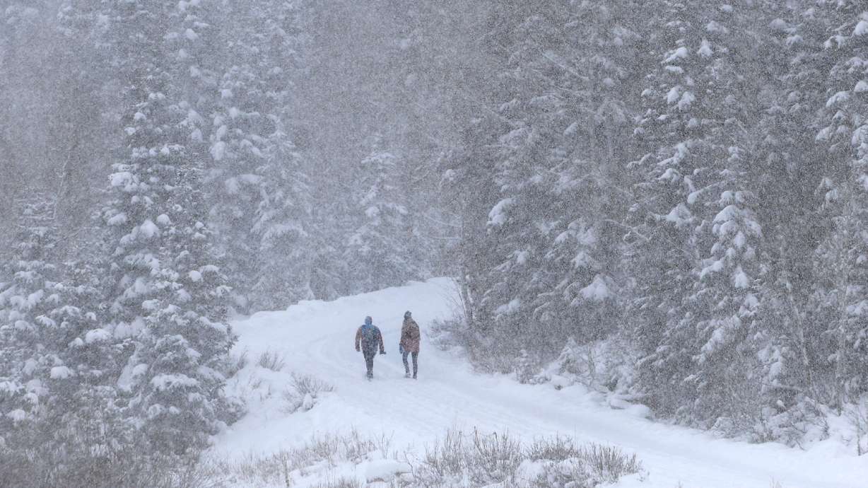
SALT LAKE CITY — Utah will stay a winter wonderland for at least another day. Mike Seaman from the National Weather Service said northern Utah and the Wasatch Front will get hit the hardest.
The NWS expects this snow to stick around through Monday evening.
“We’re looking at up to a foot and a half along the Wasatch Front, with three feet falling on the mountains,” said Seaman.
“Even the bench locations for Salt Lake, Davis, Weber and Utah counties could be looking at 12 to 18 inches by the time things wind down,” continued Seaman.
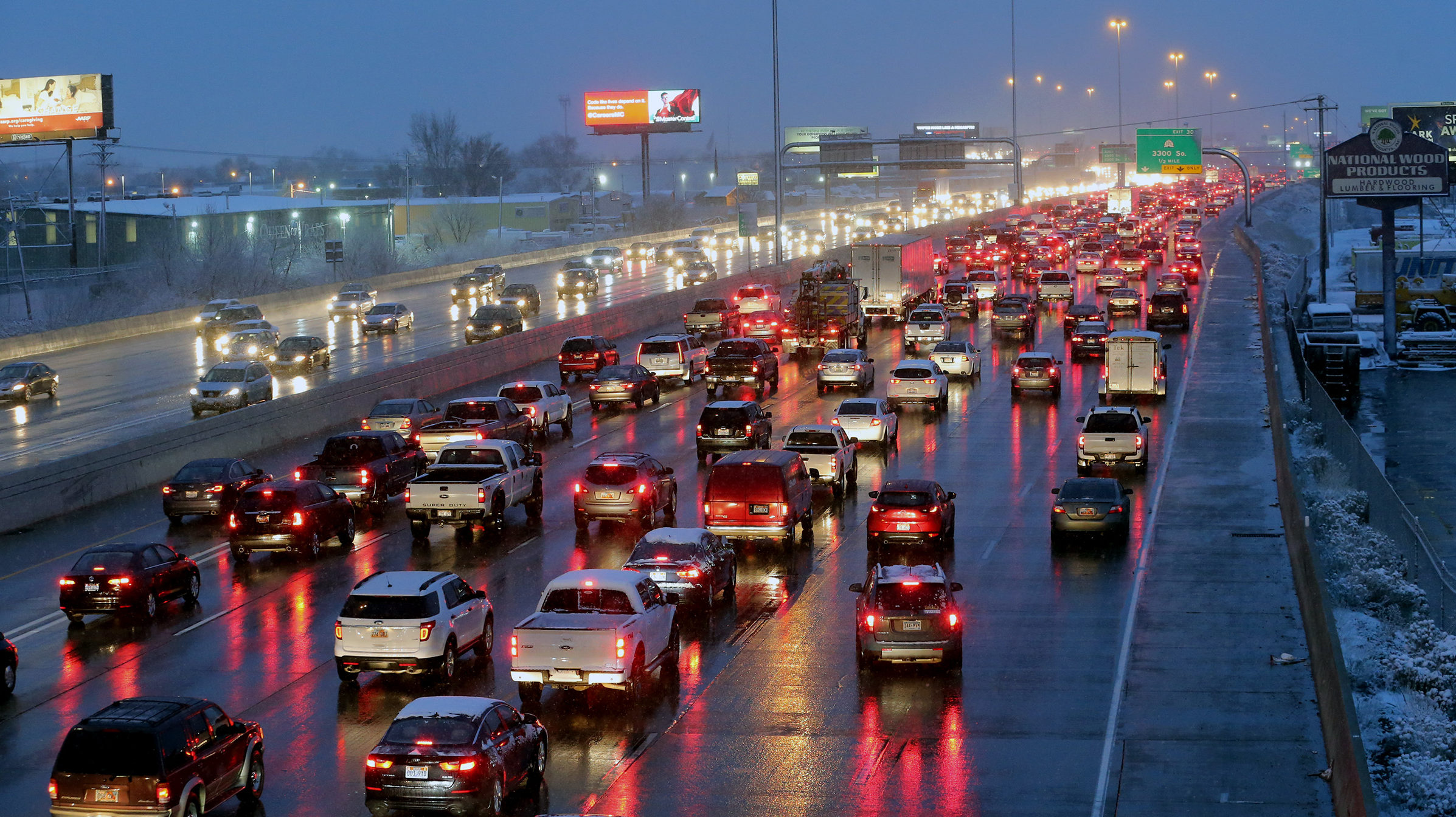
The wet snow has caused some drivers to hydroplane. The good news for drivers and skiers, the snow will begin to dry out tomorrow through Tuesday and become a finer powder.
“But as we bring some much colder air to the region tonight we’re going to transition back to our typically low dense powdery snow that we’re more familiar with here in Utah, tonight through Tuesday,” said Seaman.
Additionally, snow is expected to pile up to four feet in the Cottonwood Canyons and a foot and a half on the Wasatch Front.
Even Southwest Utah expects three to six inches of snow with this storm.
It will feel more like spring this weekend when temperatures climb back to the 50s. However, that brings concerns about snow melt and flooding.